The Hidden North
The Senja Tourist Road | The Hidden North Road-trips
The Senja Tourist Road | The Hidden North Road-trips
Couldn't load pickup availability
Note - this is a digital PDF file that will be available for download instantly after purchase.
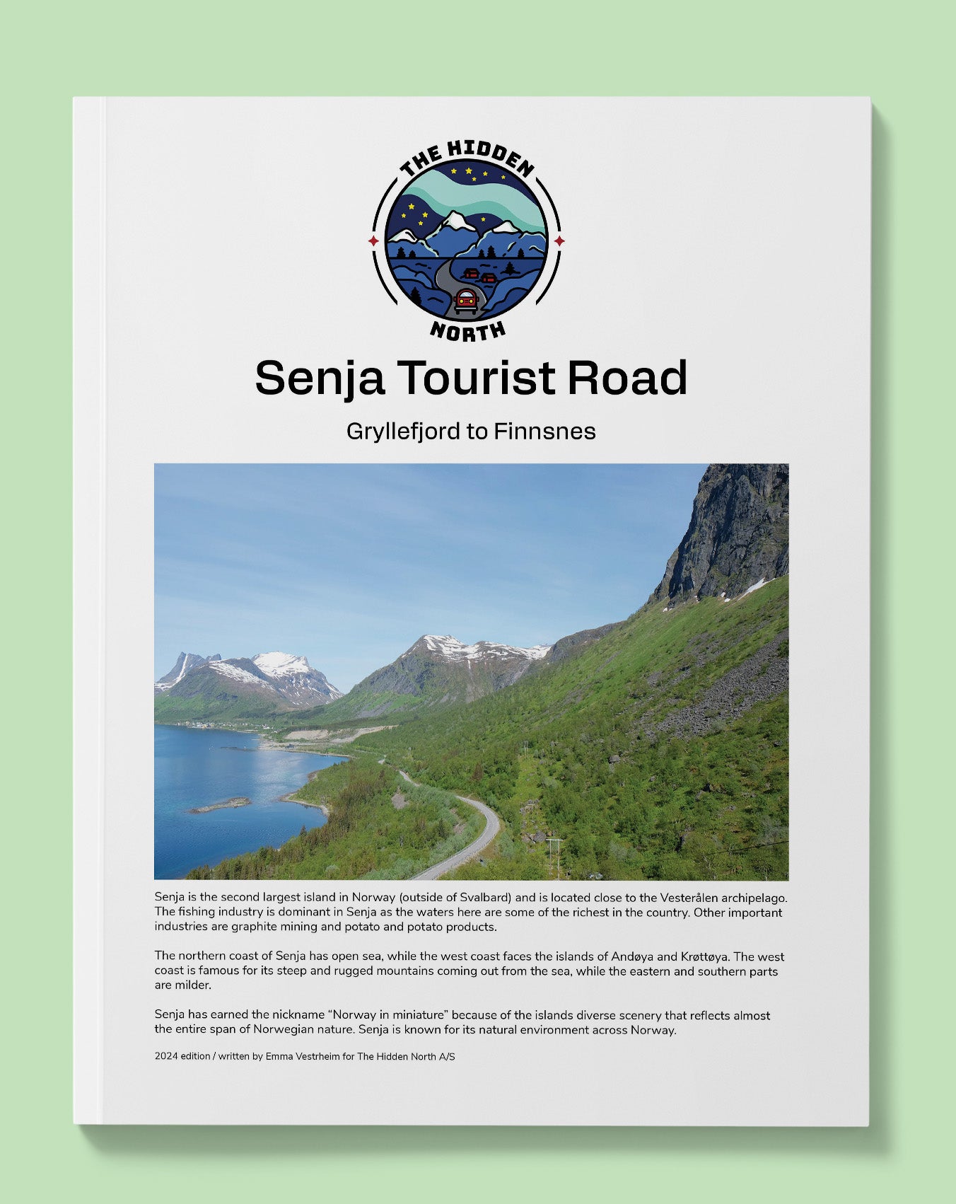
Senja is the second largest island in Norway (outside of Svalbard) and is located close to the Vesterålen archipelago. The fishing industry is dominant in Senja as the waters here are some of the richest in the country. Other important industries are graphite mining and potato and potato products.
The northern coast of Senja has open sea, while the west coast faces the islands of Andøya and Krøttøya. The west coast is famous for its steep and rugged mountains coming out from the sea, while the eastern and southern parts are milder.
Senja has earned the nickname “Norway in miniature” because of the islands diverse scenery that reflects almost the entire span of Norwegian nature. Senja is known for its natural environment across Norway.
This guide will:
- Answer the question "How do people live here?"
- Provide you with historic images and stories relevant to where you are
- Give you practical tips such as - where's the nearest toilet? When can I get a hot dog? You know, the important stuff.
- Show you interesting points where you can stop to stretch your legs or get beautiful photos of Norway
- Give you information about museums (including opening hours), attractions, and major points of interests that you can visit
This guide won't:
- Drive for you (Sorry, we aren't that advanced yet)
- Give you accommodation tips (this guide assumes you know where you are staying already). If you want accommodation tips, visit our (free) online travel guide https://thehiddennorth.com/norway
Our guides are packed! Here's what this one includes:
- Free interactive Google Map (with every place mentioned in the guide marked with an address) that can be loaded into your GPS, making finding that stave church or petrol station much easier.
- Detailed overviews of all the major points of interest on the road.
- Practical information (cafes, dining, museums, toilets, petrol, road-side rest areas, detours, alternate routes)
- Historic, modern and practical information for every city, town, village, and farm you pass through
- Modern and historic images of all the major points of interests
- Distance between points
- QR code & interactive links to museum websites, relevant pages on our website, ferry timetables, and more!
This guide was published in June 2024.
This guide is 6 pages.
Share